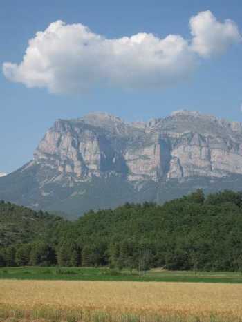
What to do when onshore & the seismic is struggling Continuing the climb where seismic stops
Its the 21st century and the easy stuff has gone. The offshore is quite rightly focussed on the beautiful imaging techniques that can be achieved there. Ironically it is the onshore mountain belts and associate forelands that set much of the oil exploration scene going in the first place, that also seem set to provide the last frontiers for hydrocarbon exploration. This is precisely because the ability to image structures there is challenging, in an age where we have become almost totally dependent on seismic for investment decisions.
Yet there are other techniques. They are no magic wand, but they do often provide techniques for testing end member scenarios, which when collated can come close to providing that "X" on the map. Yes - the risks may be larger, but then the structures often are too. If you can stomach the up front risk you can limit expenditure on seismic, and the wells are typically a bit cheaper than offshore. Its not a game for the faint hearted, but PAETORO is investing time in documenting all the generic tools and workflows that can be used in onshore fold and thrust belts.